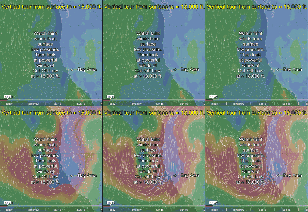
Cut-Off Low at ≈ 18,000 ft.and surface low block NW surface winds.
This blog tells the back story why the Bay Area coast and Peninsula has seen NW flow weaker than normal for this time in the summer.
The saga of this weird wind summer continues with a massive 8 mile in diameter over California at about ≈ 18,000 ft. In this first animation you can see the faint surface low pressure spinning off the Bay Area.
Note how the North Pacific High’s surface NW winds are far to the west of the Bay Area. Then the animation shows the counter-clockwise spinning winds of the Cut-Off Low which gave birth to the surface low pressure.
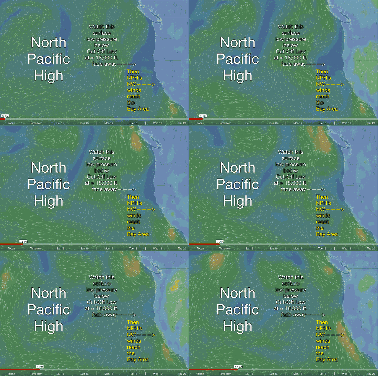
 The second animation shows the North Pacific High out in the pacific far from California.
Note the weak surface low pressure just west of the Bay Area. As the Cut-Off Low meanders away from California the low pressure fades away in the animation. Then note how the North Pacific High’s NW winds fill back to the Bay Area coast.
This should bring stronger Peninsula and Waddell winds by Saturday August 14 at least according to the GFS model. Time will tell.
Mike Godsey

