After lingering for days producing hot air and weak winds it slowly fades this week
by Mike Godsey, mike@iwindsurf.com
The top image shows the winds at ≈ 18,000 ft. These clockwise winds are the upper level high pressure that has lingered over the Bay Area for over a week keeping the temperatures hot. 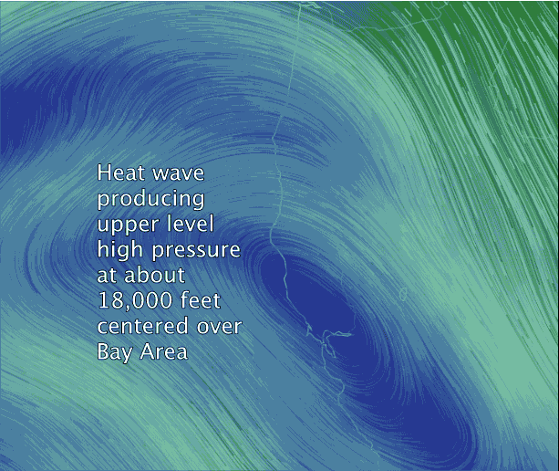 Air in this area is descending, compressing and creating hot temps. So the Central Valley thermal low expands over the coast creating a weak pressure gradient and weak winds.
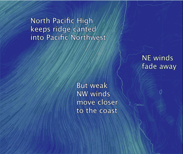
The second image shows the location of the North Pacific High. In recent days it has been strongly angled into the Pacific Northwest so the NW winds were far from the Bay Area shoreline. Today they are bit closer. Also notice how the light NE winds are curved by the pressure gradient towards Bakersfield. In past days these NE winds were keeping the NW wind away from shore until very late. Today a bit more of the weak NW wind will reach the shoreline.