UPDATED IMAGERY AT THE BOTTOM
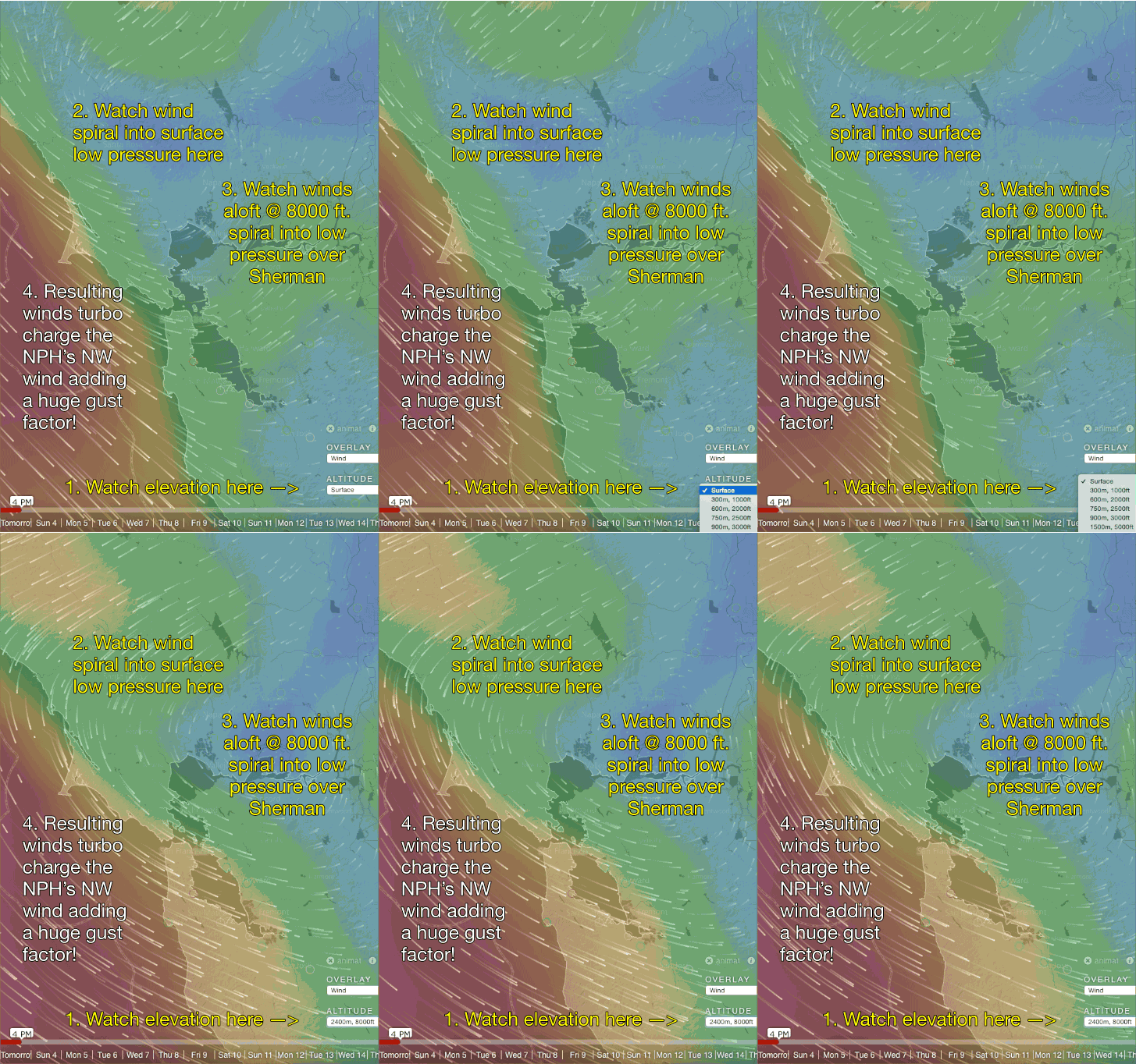
A combo spinning low pressure near Sherman Island and powerful NW ocean winds and winds aloft arrives in the afternoon.
by Mike Godsey
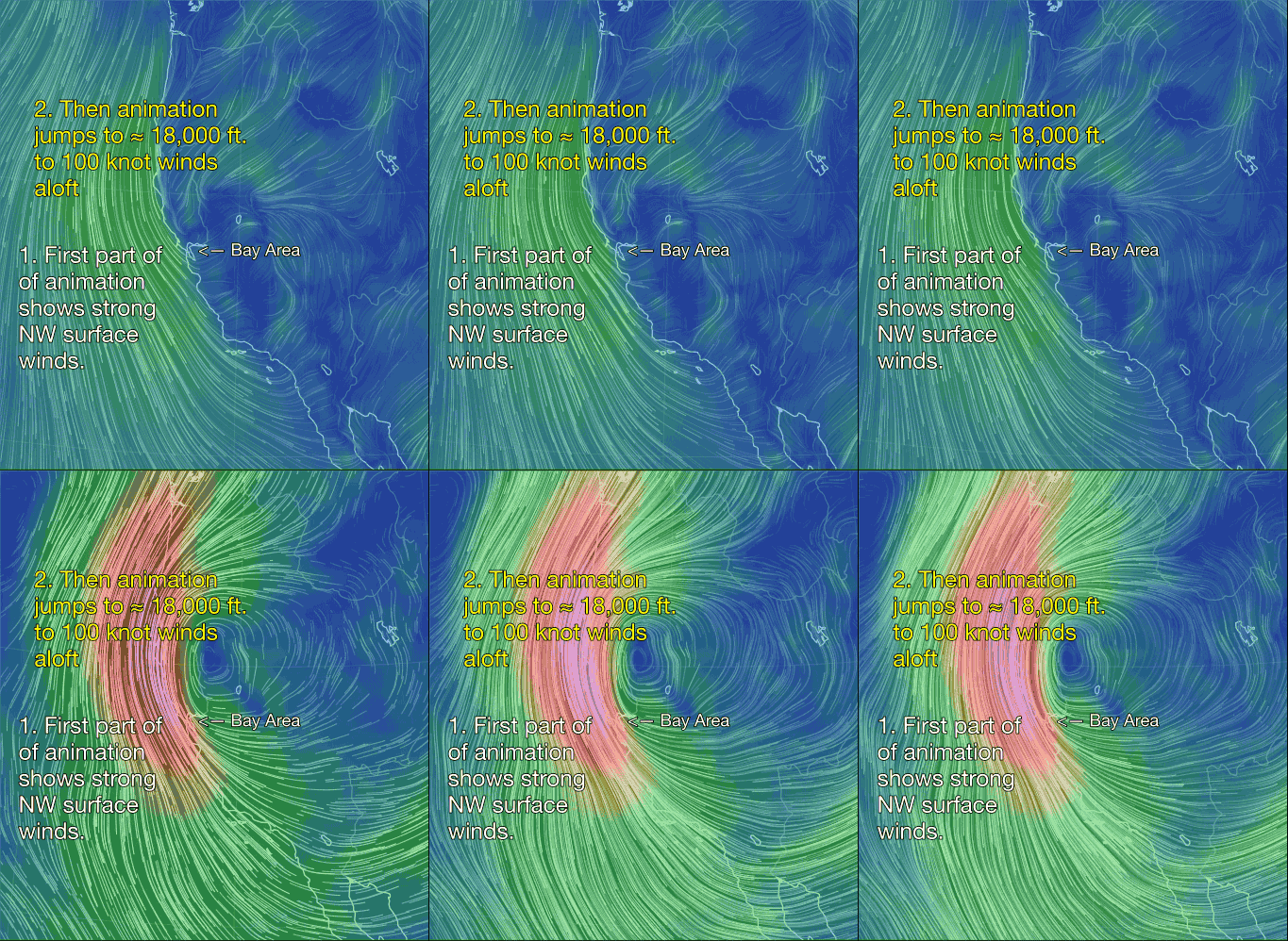
It is the prefect storm if you like powerful, gusty, shifty winds. A beefy unseasonal North Pacific High slams strong NW wind at the surface. While at ≈ 18,000 ft. 105 knot winds from a 500 mile wind upper low pressure stacks counter-clockwise spinning winds via surface low pressures all the way to the surface with the focus being in the Sherman Island to Napa area. This means big NW wind near the coast from the hilltops all the way up to over 3 miles above us. This wind aloft will tend to transfer momentum to the surface which you will experience as powerful gusts, lulls and shifts.
If they arrive as I expect it means that you may experience strong NW wind at the surface with a chance of random blasts from the SW that could descend near the surface. This would be a recipe for an accident.
The 7AM weather balloon today detected 30 knot winds at about 10,000 ft above Oakland. Those winds are modeled to descend this afternoon and shift from NNW to SW.
Below is a sampling to the crazy winds we saw at many sites in the Bay Area today. Notice the abrupt shifts, gusts and lulls. The Bodega Profiler imagery is the most interesting. You can see how the winds aloft which were faint in the morning built rapidly in the AM to 40 knots and descended to the surface.
Rider and video: Jeff Glass


