by Meteorologist Kerry Anderson
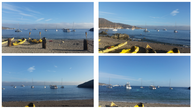
This morning one of our spotters on Catalina Island took the following series of photographs of the marine layer and reported that from his position at Two Harbors that it appeared that the marine layer was moving southward and he wanted to know if there was an eddy.
Actually it is more likely that the movement he saw was from the strong NWeseterlies that have built on the outside of the Bight but since he brought up the question of eddies I am more than happy to oblige with a conversation since it has been topic among our West Coast forecasters.
You may have noticed that we more frequently describe eddies and discuss how long they will last. Have you wondered if eddies are forming more frequently? No that’s not it. Actually the change comes because we now have the ability to spot and track small eddies due to recent advances in the forecast models provided through WeatherFlow. These small eddies can change the wind pattern for beach locations and can many times keep the beach winds from building until they dissipate. We also report these small scale winds in our Pro forecasts because these are not just used by Wind and Kite Surfers, who are hoping from strong winds in the afternoon but these forecasts are also disseminated to fishermen, sailors and many different outdoor wind enthusiasts.
Actually this morning the inside waters of the Bight did experience a few small eddies for awhile. We could not see them on the satellite because the skies were clear and they were too small to detect just using our network of observations.but the HRRR computer model detected them.
Below is the HRRR from this morning at 7pm. You can see the strong NW winds blowing on the outside of the California Bight while inside the winds have been cut off from this flow and just like in a stream we see small pockets of circulation.

Up until the advent of this model, last year, we would not have seen all these small scale features. The HRRR delivers a new forecast every hour using a small scale grid. It does this by ingesting new observations such as radar, airplane reports, surface observations every hour and then running these numbers and delivering a forecast for each hour for the next 18 hours. This combination of small grid, new observations and a forecast for each successive hour allows us to see smaller eddies that only last a short time and forecast how long they will last
So our big question is what to call these circulations. In Southern California we are used to talking about eddies when we see a Catalina Eddy and people know to expect low clouds and cool weather well inland. So should we call these small wind patterns eddies too? Dictionary.com describes an eddy as either
- a current at variance with the main current in a stream of liquid or gas,especially one having a rotary or whirling motion
- a small whirlpool.
- any similar current, as of air, dust, or fog.
Based on these definitions obviously what we see are clearly eddies but they are not the big eddies people are used to hearing about. So as science advances we are caught in the dilemma of how to describe these patterns without overusing a term that has become synonymous with larger features. That debate may continue for awhile but for now we will be careful to describe the features we see, let you know how long they will last and how they will affect your outdoor activities.