(Post-mortem: The Brits get it right)
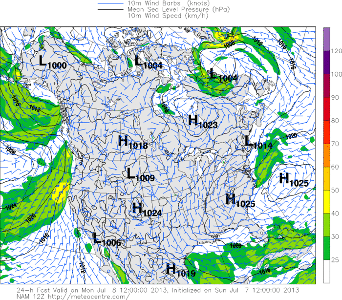
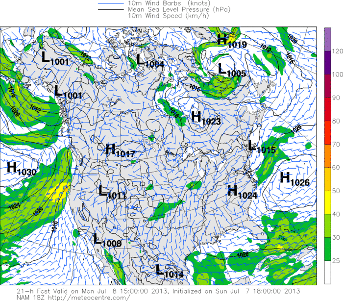
At dawn on Monday the eighth of July, the Bermuda High / Southwest flow pattern seemed on the one hand to be in full swing. (I recommend that you scroll down to read, if you haven’t already, Matt and Dave weighing in with insight re: other aspects of this synoptic persistence.) On the other hand, much of the east coast was saddled with cloud cover or modeled to be so before the morning passed, indications abounded that the most potent gradient would be held offshore, and computer models were producing some surprisingly low numbers and were mainly in agreement. Furthermore, an inconsistently modeled trough was uncertainly to provide more or less resistance to the offshore High. ‘Southwest flow not to top fifteen knots,’ went the general message. Peruse below the NAM model’s wind barb plot, with higher winds speed fields depicted from green on up to yellow. A subsequent model run predicts a similar story.
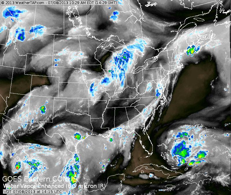
In the early part of the mid-morning, Kalmus and West Dennis, among other lesser suspects, for lack of a better word, POPPED. Gusts pushed into the high twenties. Satellite imagery supported the notion that the oceanic High was in healthy shape, but the cloud cover distribution made me doubtful about the real east – west positioning of the trough feature.
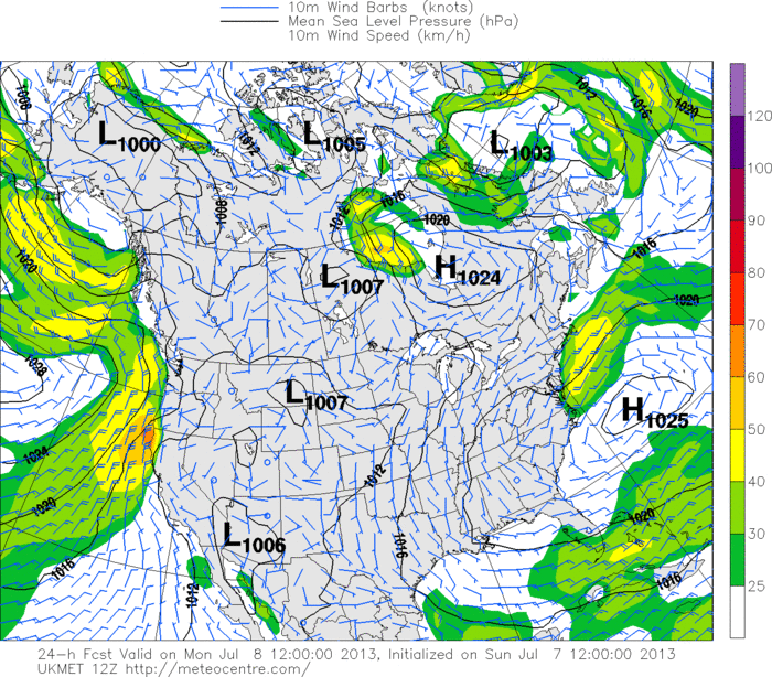
I was still skeptical about the source of this wind and its potential for persistence. Eventually I unearthed a plot produced by the UKMET model that depicted a wind field that corresponded with a scenario in which Cape Cod sees moderate to strong winds while the rest of the coast remains lackluster. Provided by the UK Met Agency, it is a relatively low resolution model typically useful for long-range applications, and I’m rather unfamiliar with its character. Following this predictive success, I may seek to get to know it better!
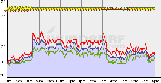
The wind for Kalmus that day unfolded as follows:
West Dennis followed a similar trajectory. In the late morning I published to the effect that winds until the midday would depend mainly upon cloud cover prevalence. Directly speaking I was a little off in this respect, as consistency above twenty should have resulted from the apparently high incidence of sunshine, inland heating, and the resulting thermal wind speed component. I’m still trying to figure that one out.
Finally, broadening the question a little bit, I’m seeking an understanding of why such a stable Bermuda High pattern has resulted in many days such as this one, in which a stable multi-day pattern results in relatively unpredictable speeds. If I reach some level of success, I’ll post again!
Brad Wheelwright
WeatherFlow Forecaster