High pressure blankets mid USA creating strong pressure gradients.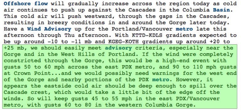
by Mike Godsey, mike@iwindsurf.com
Tomorrow, Thursday Dec. 8, 2016 will see very strong east winds in the western Gorge to Portland while Baja’s East Cape sees significant El Norte winds. Surprisingly these winds, separated by thousands of miles of land, have the same cause.
But first let’s look at the NWS discussion for the Gorge tomorrow. While the models bicker a bit about the max strength of the Gorge winds it looks like we will see gusts in the 60-80 mph range at Rooster Rock. But what about that mention of 110 mph gusts? We will come back to that also.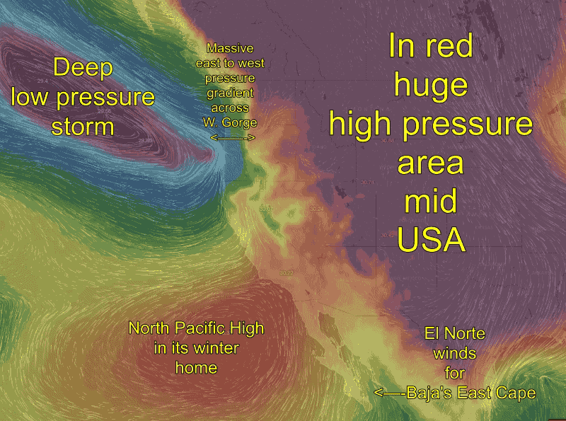
The cause of both the Gorge E. winds and the North winds in Baja is a enormous high pressure zone located in the middle of the USA. In the 2nd. image that high pressure zone is in red. Notice how the high pressure area is just east of the Gorge and north of Baja. Now notice the tightly wound low pressure storm system west of the Pacific Northwest. So the Gorge has strong low pressure to west and strong high pressure to the east. This means there is an extreme pressure gradient over the length of the Gorge. But the Cascades make a partial barrier to the winds created by this huge pressure gradient. So the main route for the east winds will be in the Stevenson to Troutdale corridor. So the venturi effect will be strongest there.
This pressure gradient is so massive that if all of the winds was near surface wind we would be seeing gusts to 110 mph range. But tomorrow there is strong wind from the surface to over 5000 feet. This means a good portion of the wind will be able to slip over low places in the Cascades rather than being focused just in the Gorge.
Now looking at Baja notice that the huge high pressure zone is partially over the Great Basin and 4 corners zone. High pressure in that zone creates a pressure gradient to the frequent low pressure zones south of Baja. This pressure gradient should create solid El Norte winds tomorrow.
Now note the location of the North Pacific High. This is location is far to the south of the North Pacific High’s summer time residence off our west coast. In recent years the North Pacific High has been even further south so it is often sending NW to WNW winds over Baja pushing the El Norte N-NNE winds away from the shore especially at El Sargento and sometimes La Ventana. But tomorrow it looks like the North Pacific High is positioned so it will actually jazz up the El Norte winds.