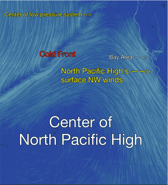
Here is what a cold front looks like wind wise.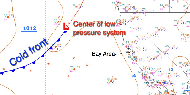
You are all familiar with the way a cold is depicted in the media. Take a look at this first image from today and you can see the small storm system that is pressing the North Pacific High’s surface NW winds close to the Bay Area. Then note the cold front. To the north of the cold front are relatively cool air. While to the south is relatively warm air.
The next image shows the wind flow in the area of the cold front tomorrow. Note how the North Pacific High’s surface NW winds are kept close to the Bay Area by this interaction between the low pressure, cold front and the NPH.