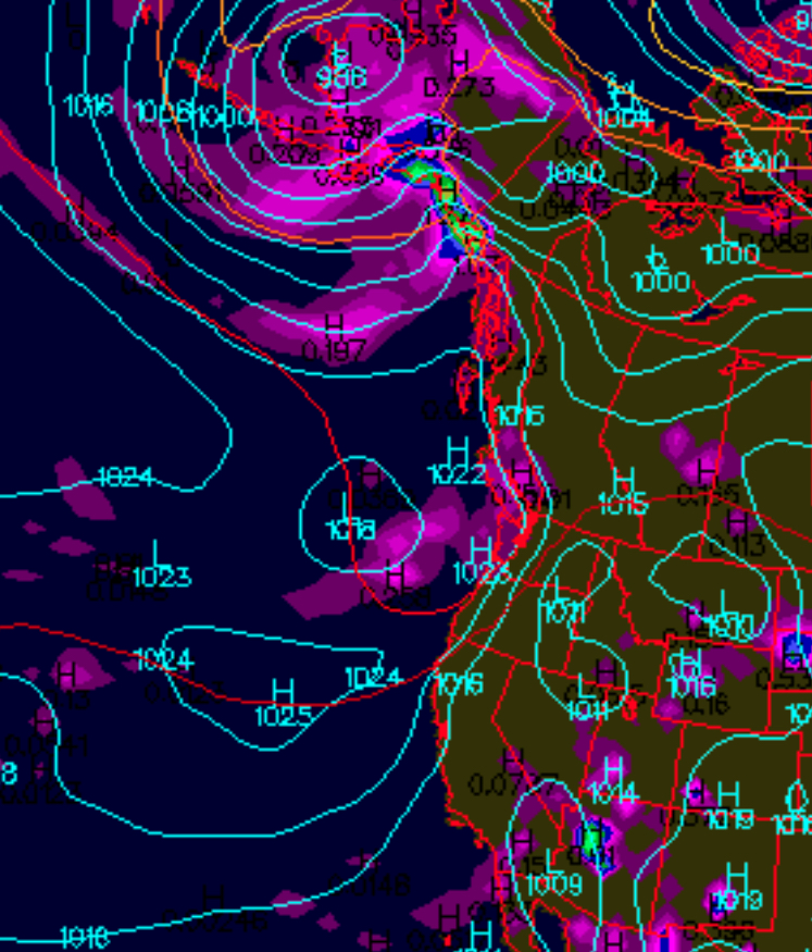
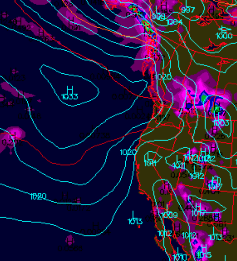
I mentioned in my forecast this morning that the North Pacific High would get a bit more consolidated by this afternoon. However, today is not characterized by a consolidated North Pacific High. This first image, a surface map, shows a non-consolidated North Pacific High pressure over the Eastern Pacific which is the case today. However by the same time tomorrow, Tuesday afternoon, the forecast is for the second image, which shows a consolidated North Pacific High with isobars stacked up against our coast. The second image is more typical of the summer season.