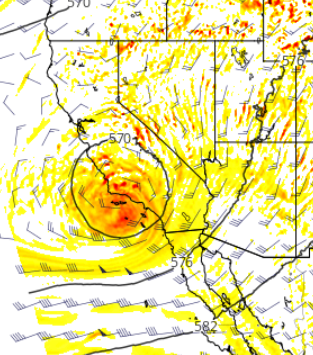
So far this season we have had an atypical weather pattern. May and June are always the peak time for marine cloud formation. Hence the terms May Grey and June Gloom but this year we have added a prevailing upper-level Low and that caused some changes in the daily marine cloud pattern.
Typically we start to see a ridge of High-pressure building over the west. The high pressure pushes the air down toward the ocean’s surface where the air is cooled and clouds form. If the High is very strong the clouds get compressed next to the surface and this blocks winds from reaching the beaches.
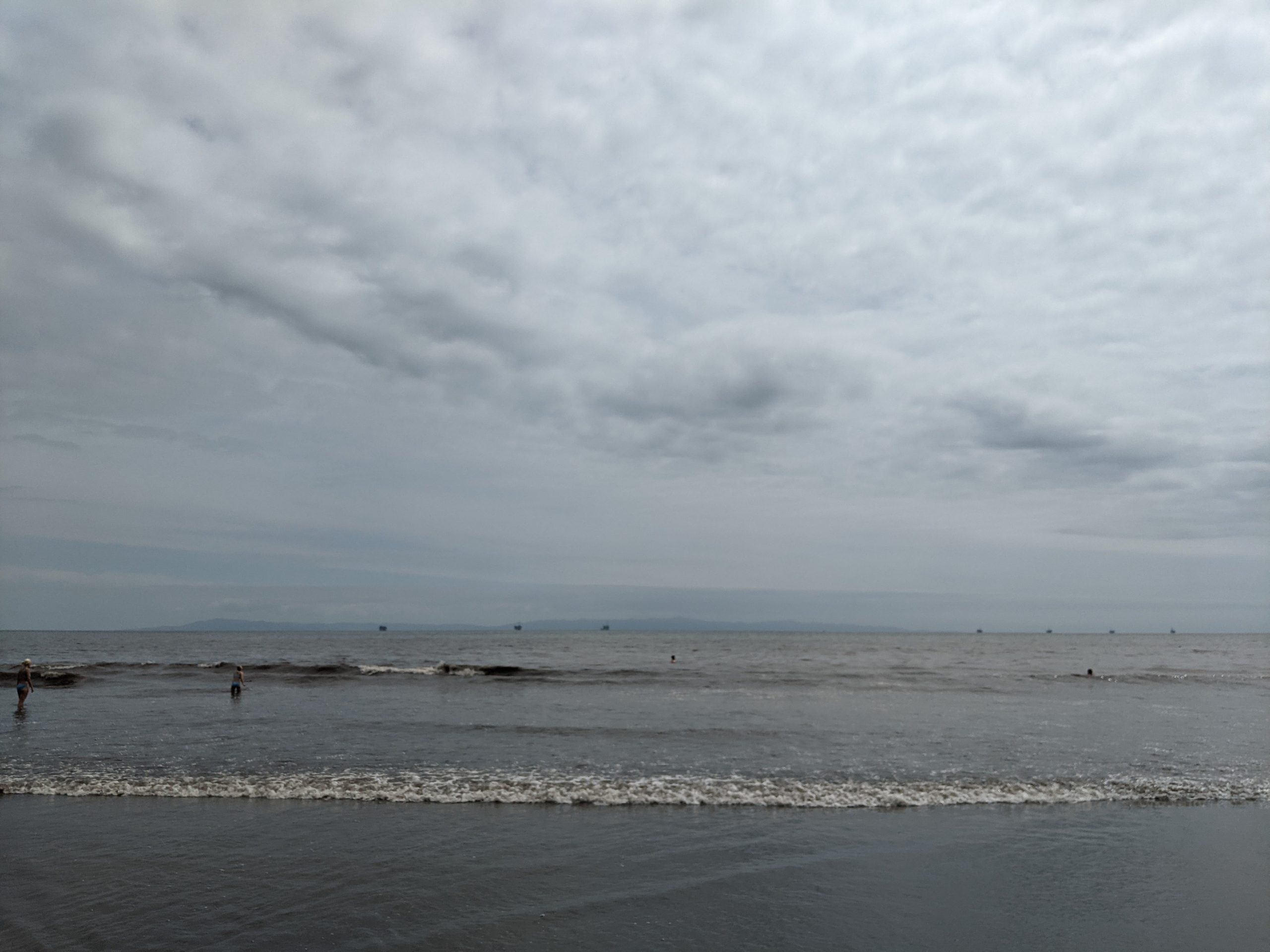
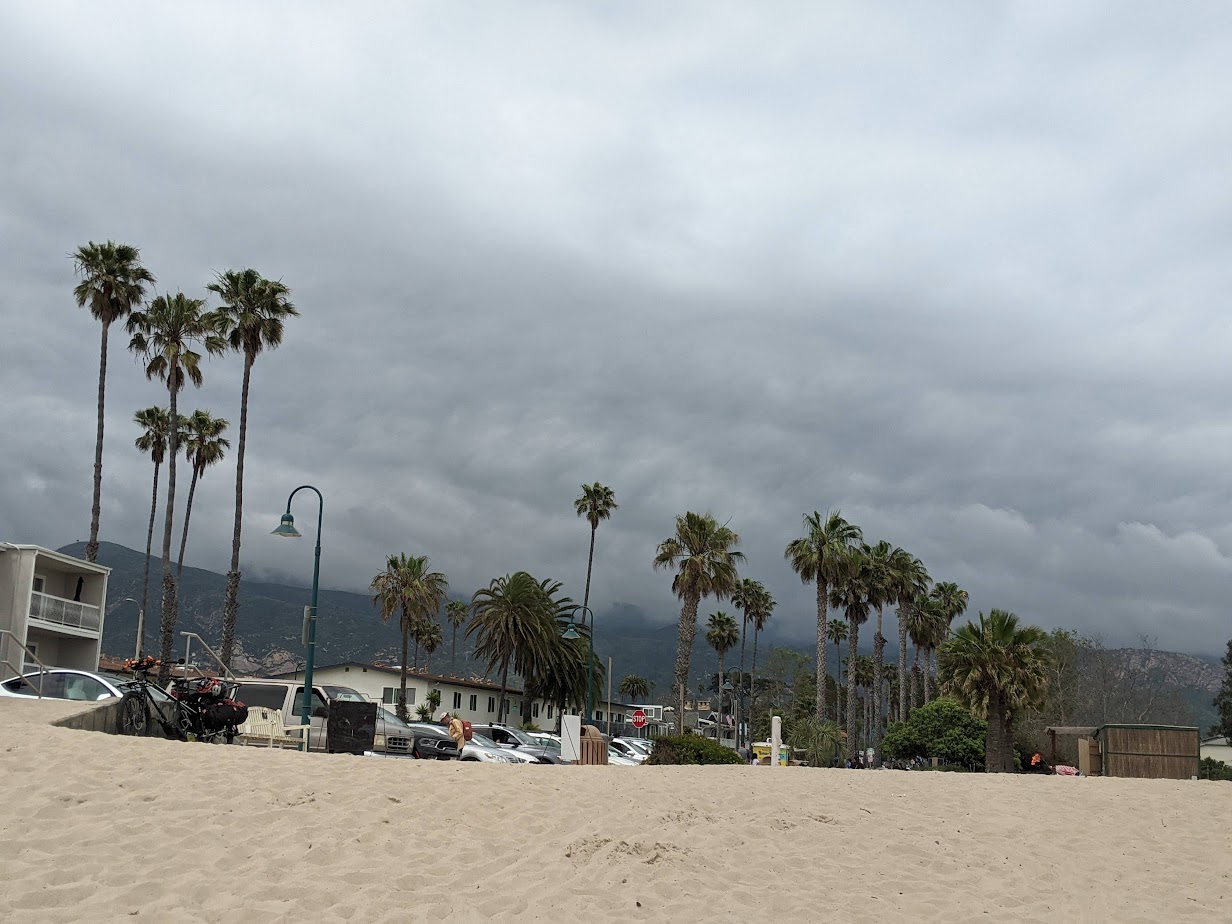
This year we have had persistent Lows over the area. This has the opposite effect of the High and takes the pressure off the air allowing it to rise. And this is where the forecasting gets tricky. A little bit of lift creates a deep, thick layer of marine clouds that won’t mix out. The clouds persist all day and stifle wind development.
Just a little more lift and we start to see the whole cloud layer lift above the surface leaving space for winds to funnel under the layer. When this happens we can get strong localized jets of wind and quick builds. This happens frequently in the San Francisco Bay when we get Southerly winds.
And a little more lift and we get what we call reverse clearing where the clouds dissipate over the ocean but that moist layer is pushed up against the local mountain and a thick stratus layer builds. Then we have cool air inland which is not the fuel we need to get sea breezes going.
This pattern will be with us at least for a few more days so keep an eye on the satellite and webcams as we continue to see spotty clearing and wind development.