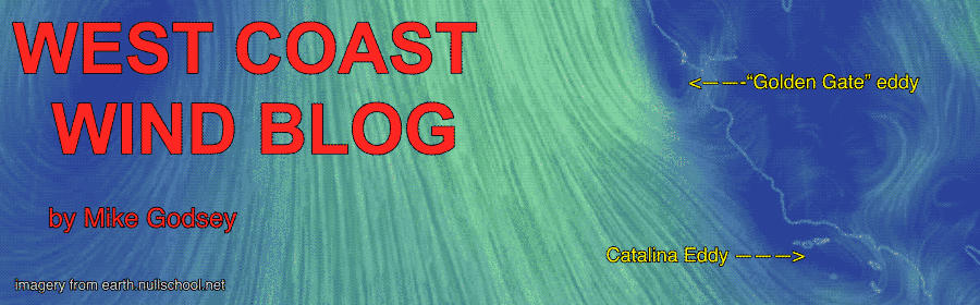
by Mike Godsey, mikeATiwindsurf.com
The satellite imagery below from today, May 7, 2019, really shows the lingering eddy in action. If you work the waters north of the Bay Bridge Eddy looks beautiful. But if the Peninsula or the coast is your home Eddy looks malevolent in this imagery.
For many decades the North Pacific High and its NW wind have dominated the Pacific west of California each spring. Sure, the North Pacific High took brief vacations to the south each time a storm arrived but like clockwork would pop back into place bringing NW clearing winds.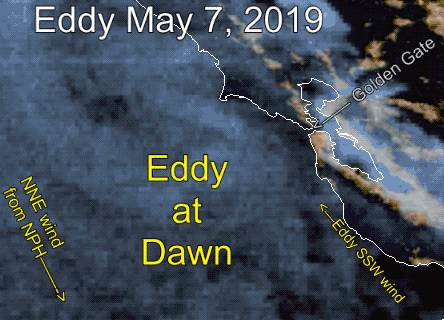
This year we have seen the near constant presence of an eddy off the greater Bay Area. Several times the eddy has almost died only to reappear along with southerly winds on the coast and much of the Bay.
Ironically, the eddy is created in large part by the North Pacific High being way too far north for this time of year.
What is causing the eddy? The proximal causes are easy. The North Pacific High has been aligned at an angle to the west coast so its normal NW winds are more NNW + there has been a near constant low pressure just to the north of the Bay Area.
But why is the eddy so early and so persistent? Watch for a future blog on the factors involved in the ultimate causation of the North Pacific High’s position and the resulting eddy.