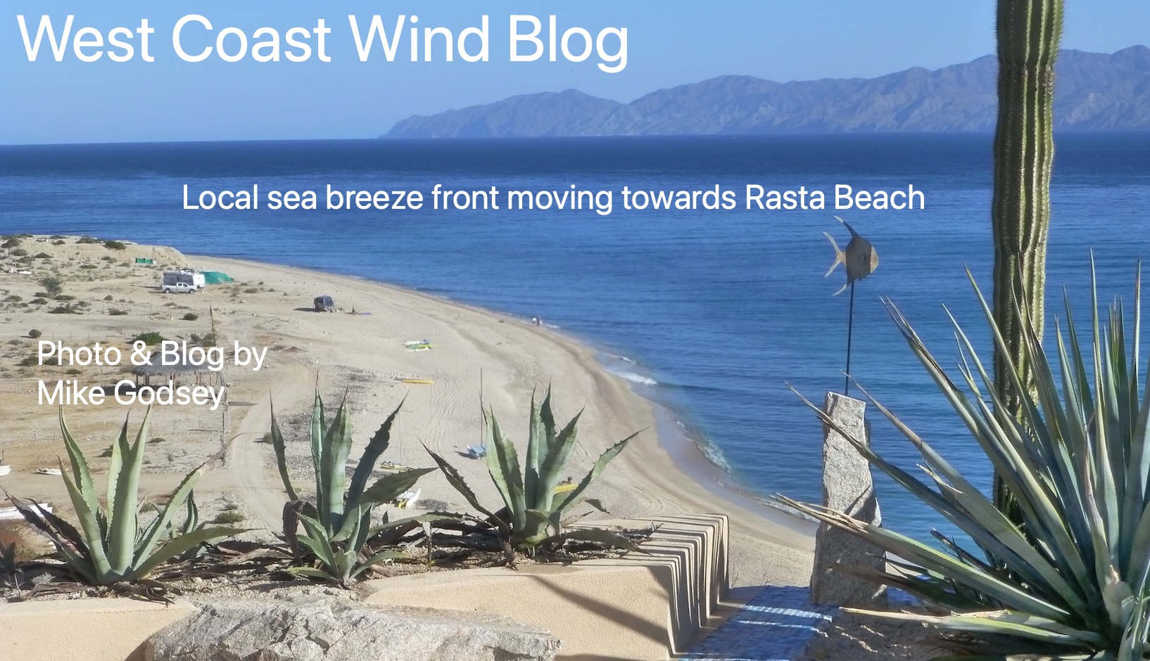
Take a look at my banner photo from my house last year.
Notice the near glassy waters near the beach much like today but with low swell.
Now notice that dark line. That is called a local sea breeze front.
It is the point there the warm air rising from the Los Planes Valley cools and settles to the surface and is then pulled back towards
the valley by the pressure gradient created by the expanding air in the valley.
That front always reaches Rasta Beach first then an hour or so later La Ventana.
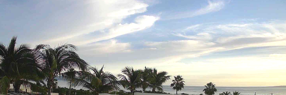
BUT to get all this working we need lots of blue sky for valley heating. That is why the high thing clouds this morning are concerning. If they were to thicken then the mild winds forecast would never arrive.
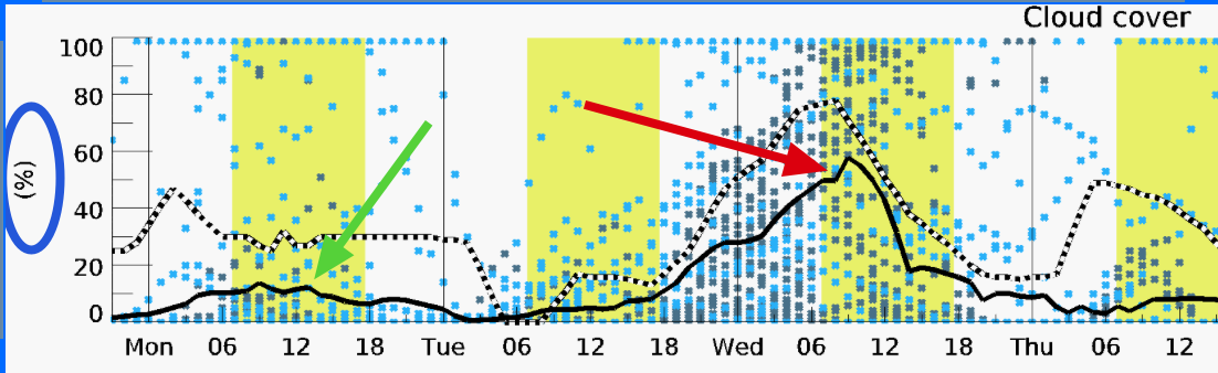
The supercomputer models are great at forecasting storm clouds but they are weak in forecasting clouds on the scale of a small valley. Here is the summary of many models for the Los Planes Valley today and tomorrow. Notice the average cloud cover is modeled to really increase tomorrow (Red arrow). And the aveage of the models for today (Green arrow) is only 15% but look at the variation in the models.
Some have 100% cloud coveage and some near zero percent. So what do I forecast for winds with all this variation?
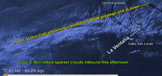
When all else fails turn to reality. Here is the satellite imagery of those clouds from Midnight to dawn today. What would you forecast?