 Unexpected early arrival of SW winds aloft sends streamer of marine layer clouds into Bay Area and brings
 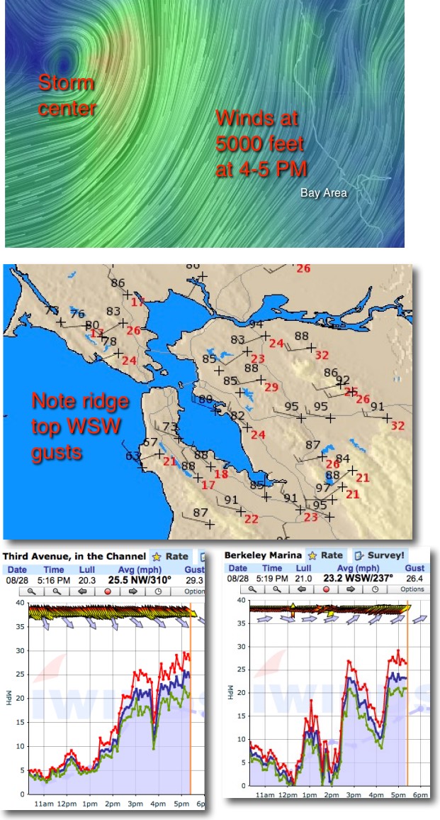 sudden spikes in wind.
As I mentioned in a blog a few days ago the wind patterns over the pacific are a mess with will fluctuations in the upper level winds. In that state forecasting becomes difficult and sometimes, like today, $#!+ happens. Today the storm to NW unexpectedly sent a pulse of southerly wind over the Bay Area.
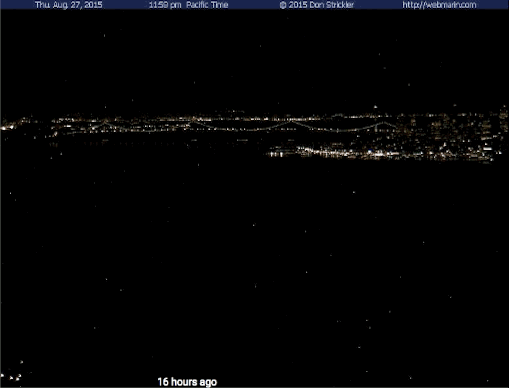
Notice in the top video there was not even a hint of marine layer clouds even in the mid afternoon But as the winds aloft arrived they quickly sent a streamer of clouds rushing through the gate and over the Marin Headlands through the slot all the way towards Pt. Isabel.
Looking at the next set of images you can see these winds and the consequences for the wind at different sites..