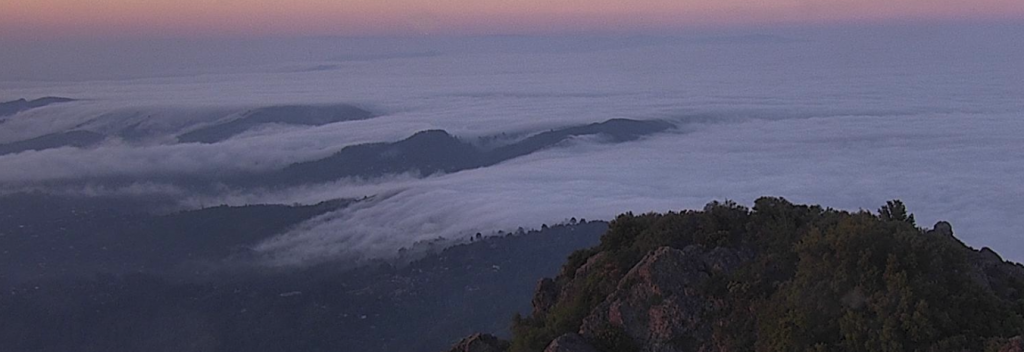
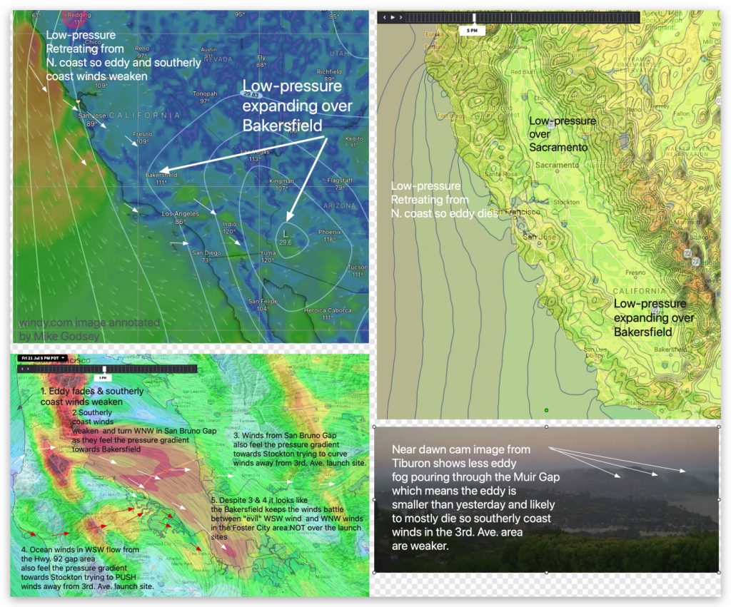
This visual blog tells a bit of the story behind my 3rd. Ave. launch site forecast today:
Note: I am going to stick to last night’s forecast below except to mention that the eddy is weaker and will impact Pt. Isabel and 3rd. Ave. less than I thought.
Blog about 3rd. Ave. launch site winds today:

Ahh, this is what I like to see! Tomorrow, like today, a low-pressure tongue is pushing up from Yuma, AZ over Bakersfield jacking up the pressure gradient from the ocean through San Bruno Gap over the Coyote, 3rd. Ave. launch sites and Palo Alto towards Bakersfield as upper-teens to low 20’s wind! This setup also helps the Waddell to Natural Bridges zone as the wind rushes down the coast and then curves through the San Luis Reservoir’s Pacheco Pass to Bakersfield. But an equally strong pressure gradient towards Sacramento helps the Isabel, Berkeley, Racetrack zone BUT a milder gradient towards Napa Valley curves the winds Pt. Isabel winds more to the SSW favoring Shimada Park while weakening the Berkeley winds a bit. This setup makes Treasure Island stronger towards Point Blunt and a bit weaker at Crissy until you are past Anita Rock with the North Tower rocking. A weak eddy dies early without messing up the Peninsula winds but residual southerly winds near the Golden Gate help the Pt. Isabel winds a bit.

