This Cut-Off Low spawns a surface storm that shoves the North Pacific High’s winds to the Northern California coast.
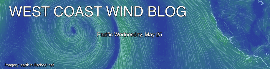
by Mike Godsey
Recent days have seen light winds at most sites in the Bay Area as well as clouds and unsettled weather. This has been the result of the Cut-Off Low at ≈ 18,000 ft. that came over the western USA last week and continues to linger as a upper trough. These events have kept the North Pacific High’s surface NW winds several hundred miles away from the Bay Area with its winds focused towards Southern California.
Yet another Cut-Off Low on the far horizon!
Looking at my banner imagery above you can see a surface storm and its counter-clockwise spinning winds about 1200 miles west of Northern California. Directly 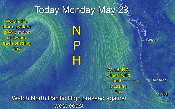 above this surface low at ≈ 18,000 ft. is yet another Cut-Off Low. But this Cut-Off Low does us a favor. As it drifts to the NE towards the Gulf of Alaska it steers the surface storm you see in the banner towards Northern California. This in turn press the North Pacific High towards Northern California. As this happens the isobars of the NPH compact along the coast and the NW winds slowly ramp up each passing day. You can see this happening in the animation to the right. Note how the winds really ramp up this Friday.
Always remember that this scenario is from a low res. model that covers the entire globe so I can not yet guarantee strong winds Friday. For those strong NW winds to reach into the Bay Area we need 2 additional ingredients: 1. For the Cut-Off Low to behave according to the model and 2. For a pressure gradient to develop to the Central Valley and/or the Great Basin to cause the NW wind to curve into the Bay.
Meanwhile the Cut-Off Low itself is modeled to head into Canada so it does bring clouds and rain to Northern California. So the North Pacific High’s surface NW winds linger for a while along the Northern California coast.