We hear the term “subsidence” is weather every once in awhile. But what is it? To understand that, we have to know that it is usually associated with robust areas, or “domes” of High pressure. Warm moist air that has been lifted high up in the atmosphere by cold fronts and/or central Low pressure(s) eventually blends into High pressure, which is then sent outwards and downwards while cooling and condensing. The effect it has over warmers water below can appear as billowy looking cumulus types and can at times be called “cloud streeting”.
Basically it appears as Altocumulus clouds or can sink to create thicker Startocumulus clouds.
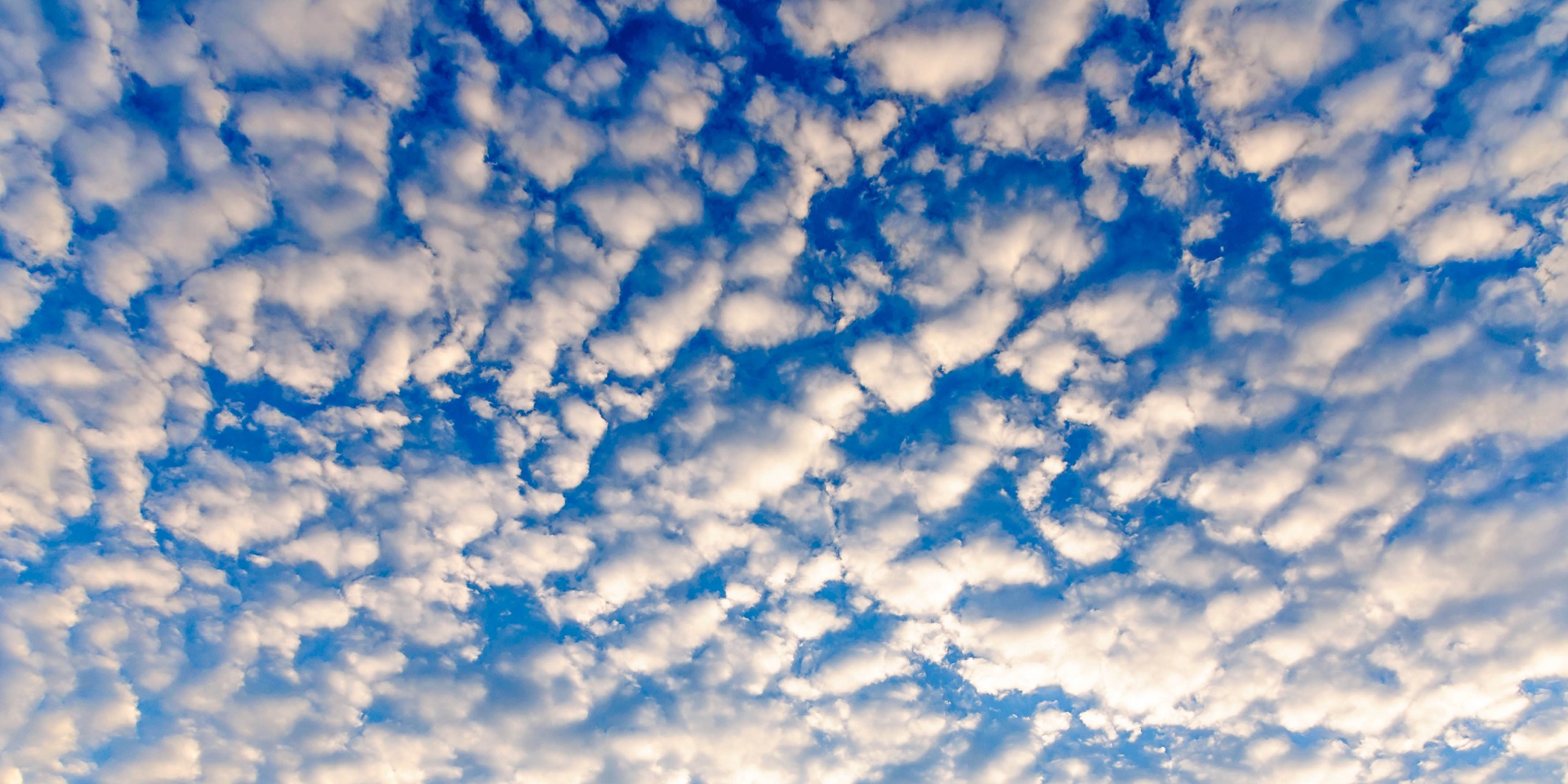
Altocumulus:
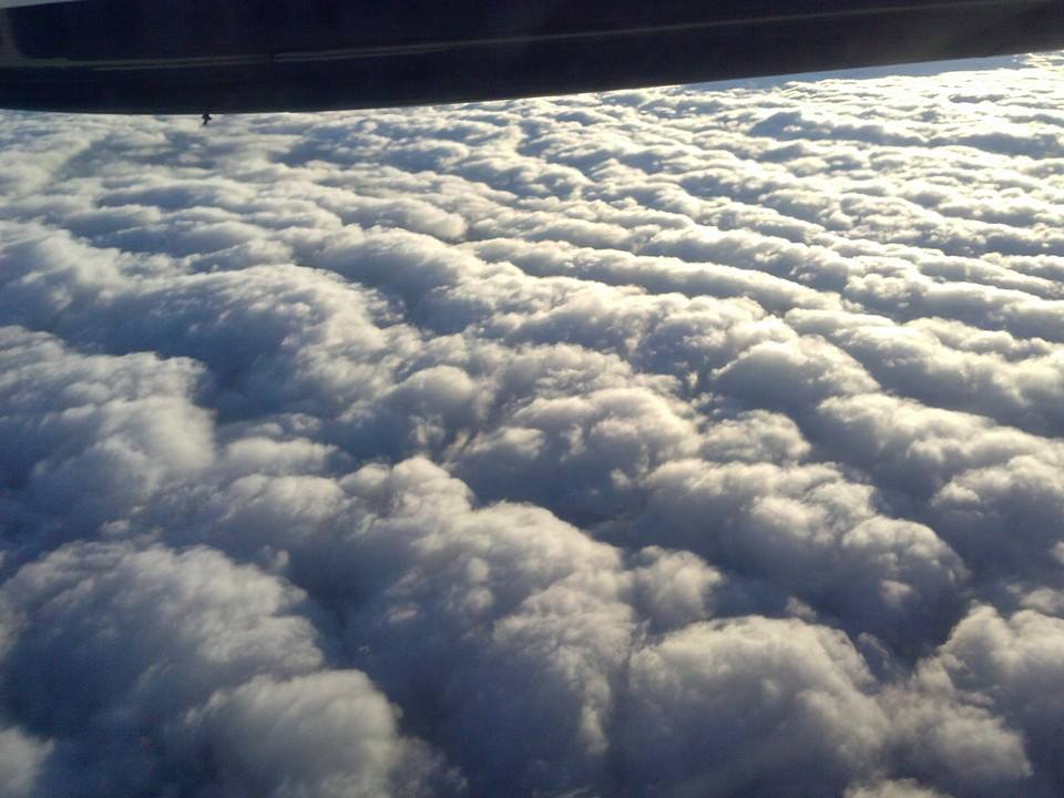
Stratocumulus:
 So how would this affect winds?
For the east coast, High pressures over the NE US send down moderate to strong NE winds, also known as “the wedge”. Coastal areas with sunshine host a heating element between land and ocean tend to create additional speeds based on the pressure gradient increasing between cool air diving down over water and into land. If this subsidence pushes clouding over the coast, the heating element is thwarted and speeds can fall. Also, this subsidence can get thicker and if a small area of low pressure or troughing develops, we can get convective cumulus clouding and rain. This tends to shift winds counter-clockwise and drops speeds even further. These areas of low pressure that develop are also knows as “short waves” to affect winds, which we have covered in more detail in this blog.
Sources: Community Cloud Atlas